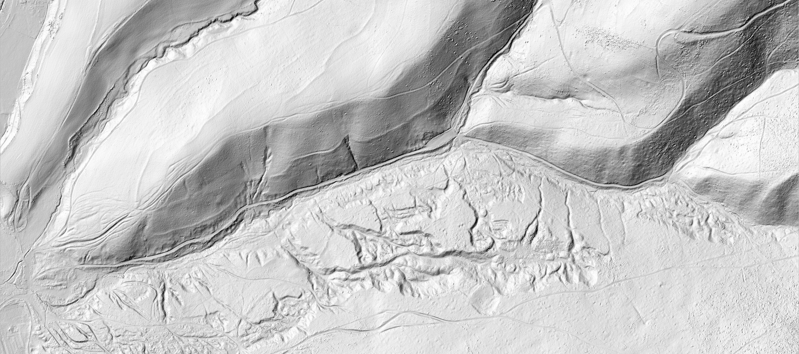
The use of lidar is also beneficial in applications related to geological tasks. The lidar placed on the drone enables fast and efficient mapping of large and difficult-to-access areas and areas with limited access.
Drones are able to survey the terrain from various angles accurately, in detail, and create highly accurate 3D models of the terrain for future interpretation. The use of LiDAR on drones also brings financial savings. Traditional methods of terrain mapping for geological purposes can be expensive and time-consuming.
LiDAR scanning with drones enables faster and more efficient data acquisition, which leads to reduced costs and time savings.
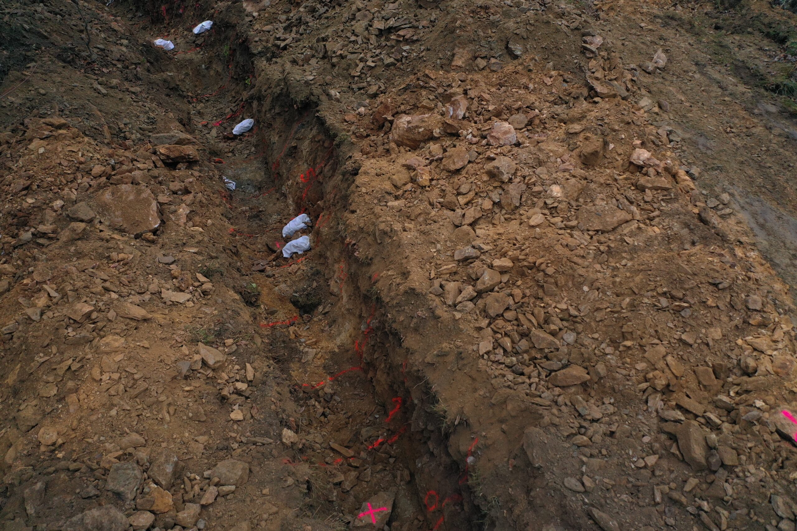
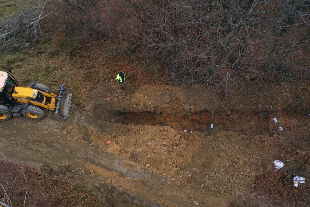
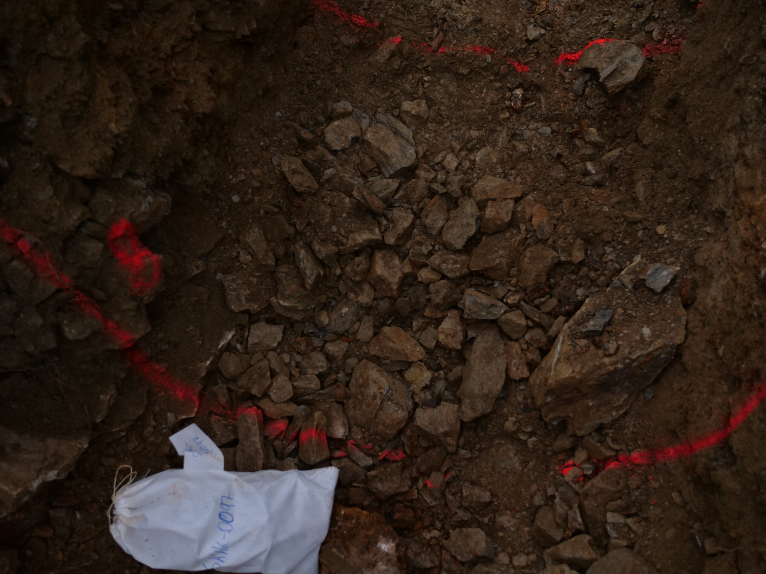
Recording the surface before carrying out an excavation and determining the course of future research or another geological task is suitable but also necessary for a better determination of the site of interest and comparison with the existing data of the geological map. The subsequent excavation, its surroundings and the nature of the exposed rock will also be recorded and targeted using a drone with LiDAR, or photogrammetrically and the data will be used for future processing.
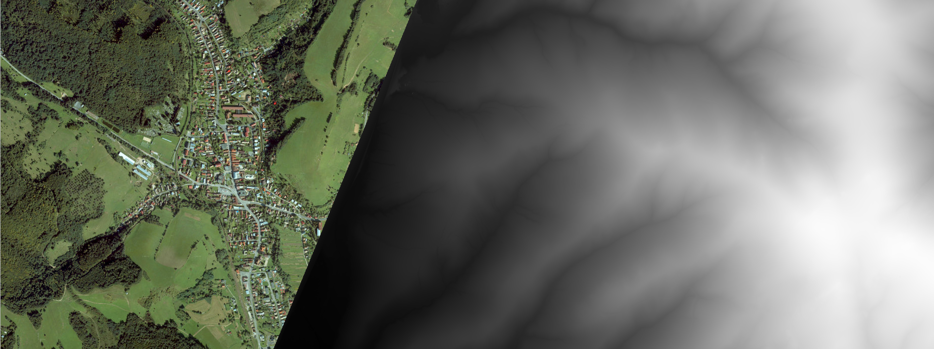
The output data from the LiDAR includes detailed digital models of the terrain, which contain information about the heights and shapes of the surface. This data is very accurate and allows geologists and other experts to analyze the terrain, identify geological structures and perform other geological analyses.
It is important to mention that the output data from the lidar can be further processed and used in various applications. For example, this data can be used to create digital maps, monitor changes in terrain, plan infrastructure and many other geological and environmental applications.
