A professional tool for demanding tasks and high precision


| Accuracy | |
| Point density | |
| Dimensions | |
| Weight | |
| Measurement speed | |
| Camera |
The GS-130X is an advanced and accurate LiDAR instrument for both short and longer range measurements. Excellent sensor from HESAI XT 32 channel provides high density point cloud from 120m and image information from 26mpx camera. It includes a modern POS unit type 303. Even a demanding user gets what they need for a difficult project.
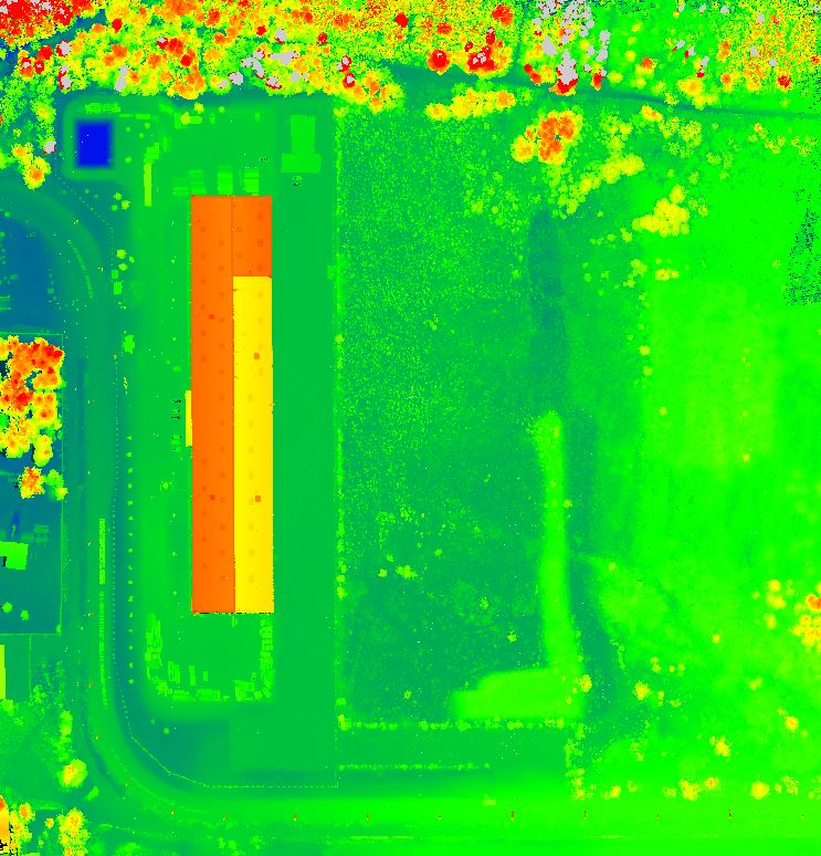
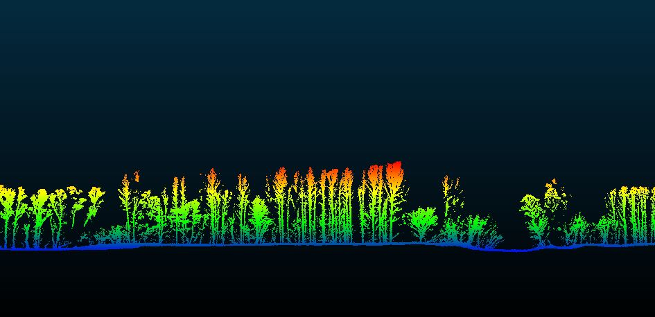
It is characterized by dense penetration through vegetation, high positional and elevation accuracy, and fast field data collection. It offers simple and convenient operation, can generate point cloud models in true colors, and is widely used in many fields such as mapping, surveying and geodesy.


This type of LiDAR can be used in construction, passporting and demanding forest cover mapping. Also suitable for mapping network corridors, construction objects and road networks.
- Use for UAV as well as mobile mapping
- Compatible with planning software
- A tool for demanding users at an affordable price
- Provides a coloured point cloud in high density and precision