Handheld tool for efficient SLAM 3D data collection in any environment


| Accuracy | |
| Point density | |
| Dimensions | |
| Weight | |
| Measurement speed | |
| Camera |
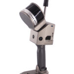
The GS-100G is a handheld scanning LiDAR system developed for fast and efficient SLAM scanning. Its compact design combined with easy-to-use features make it a versatile tool for many applications. The device has a 360° rotating platform that can generate 270° x 360° point cloud coverage.


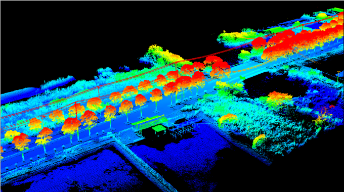
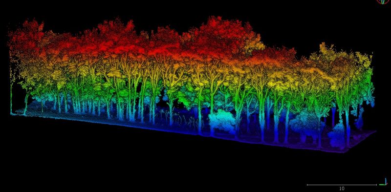
Using industrial-grade SLAM algorithms, it can seamlessly acquire high-precision, high-resolution 3D point clouds in both GNSS and non-GNSS environments. Suitable for scanning in limited space, indoors and under trees.
- Use for manual data collection in critical locations
- Compatible with other data platforms
- Affordable and very efficient SLAM data collection
- Provides a high density coloured point cloud