A simple but effective 3D data collection tool for any type of project
| Accuracy | |
| Point density | |
| Dimensions | |
| Weight | |
| Measurement speed | |
| Camera |
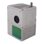
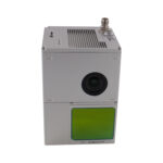
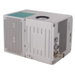
The GS-100C+ is a basic LiDAR solution for short range measurements. The low cost makes it very economical, provides a point cloud and image information that the user can use for any type of project.
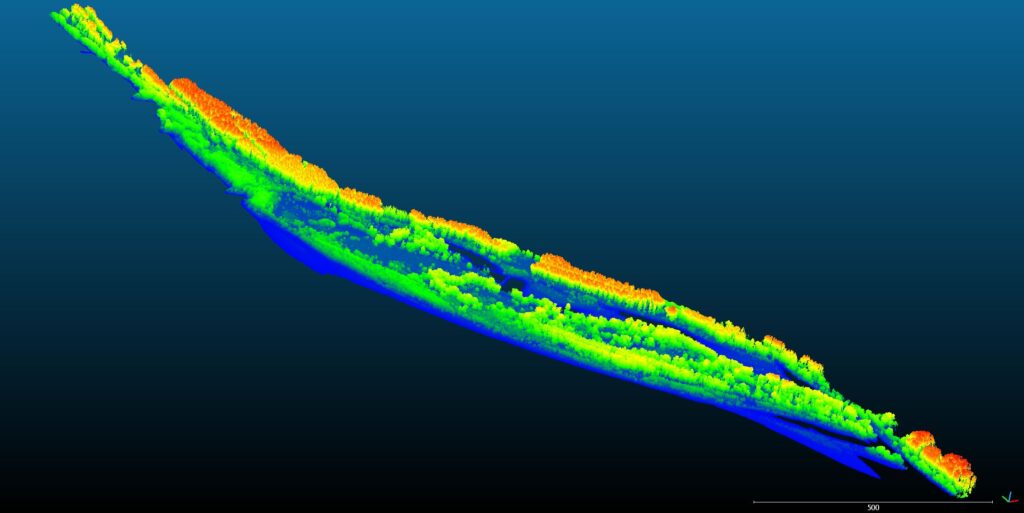
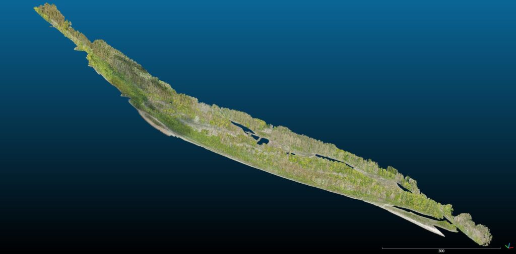
This type of LiDAR can be used in surveying and terrain mapping, especially in mapping corridors and linear objects as well as in construction and research.
- Use for UAVs from multiple manufacturers
- Compatible with planning software
- Affordable and efficient data collection
- Provides a high density coloured point cloud